GeoScope: A Full 3D GIS Platform for Virtual Reality
Aiming at modeling large-scale 3D geospatial information (e.g., in metropolitan environments) in a virtual reality vision, the Virtual Reality Laboratory of Wuhan University in China recently developed a full 3D GIS platform, which is named as GeoScope. GeoScope provides a full professional solution for 3D geospatial data integration, management, visualization, analysis, and application. GeoScope is characterized by: (1) unified 3D city models supporting multi-scale semantic representation of outdoor & indoor and aboveground & underground 3D objects; (2) high-efficient 3D geospatial database engine enabling integrated management of massive 3D geospatial data for real-time applications; (3) high-performance visualization engine exploiting the massively parallel computation architecture of modern GPUs, supports real-time realistic rendering of large-scale complicated 3D geospatial environments; and (4) extendible software architecture facilitating multi-modal integrative applications of 2D GIS and 3D GIS.
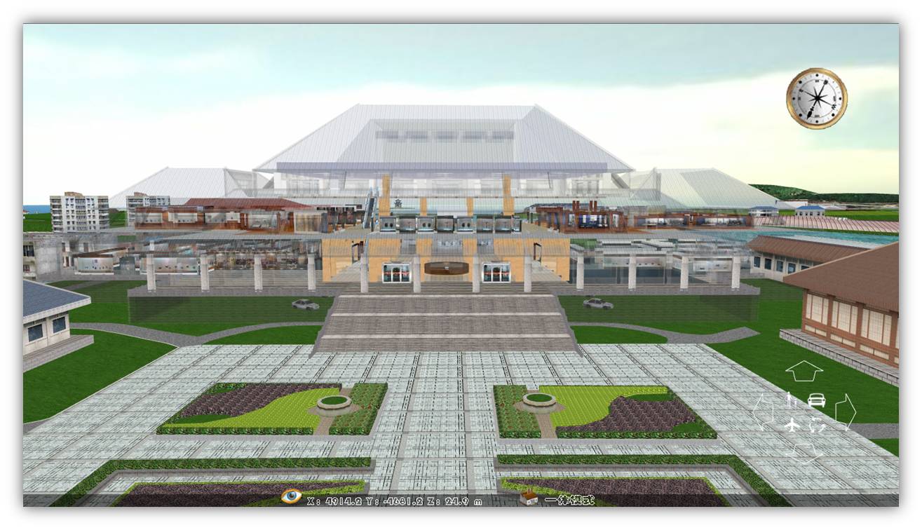
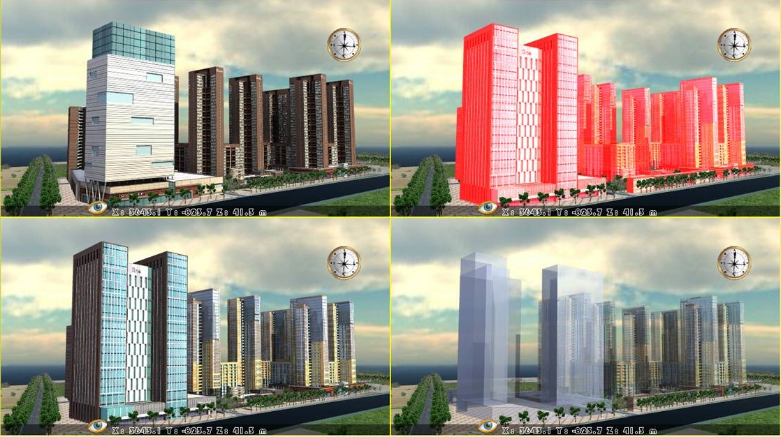
GeoScope has been successfully used to build a Digital Wuhan City. Wuhan is the largest city in middle China. Digital Wuhan covers the whole Wuhan city area of 8494 km2. Below shows a few snapshots of the Digital Wuhan system.

Figure 1. Indoor & outdoor routing for emergency response

Figure 2. Synchronous exploration above and under the ground

Figure 3. Multi-scheme comparison in urban design