Australian Urban Research Infrastructure Network – (AURIN)
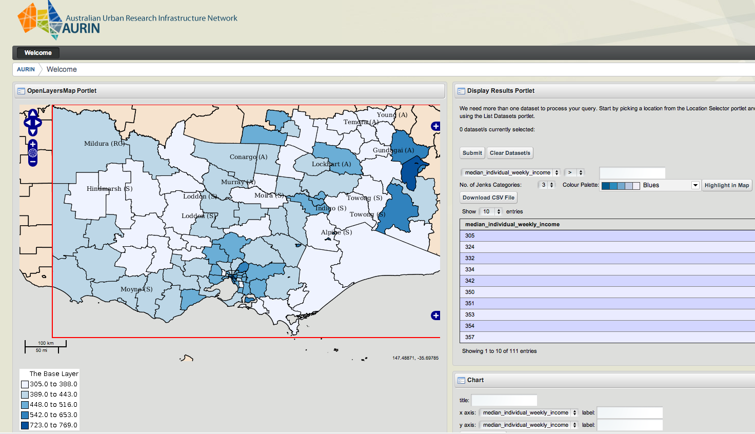
The Australian Urban Research Infrastructure Network (AURIN) is a large ($20 million) initiative funded by the Australian Government’s Super Science scheme. AURIN will provide built environment and urban researchers, designers and planners with infrastructure to facilitate access to a distributed network of aggregated datasets and information services. Visualisation will feature prominently as there will be a need to establish a series of visual interfaces to the myriad of datasets and services required to understand patterns of urban development, and to inform and model urban growth for a sustainable future. AURIN has recently launch its’ webpage, which includes a link to the AURIN Portal. Below is a example of the current OpenLayers mapping interface for interrogating and viewing datasets. Additional visualisation tools are currently being considered. These include: a digital globe viewer, a 3D volumetric viewer and a space time cube. Others suggestions are welcome.
